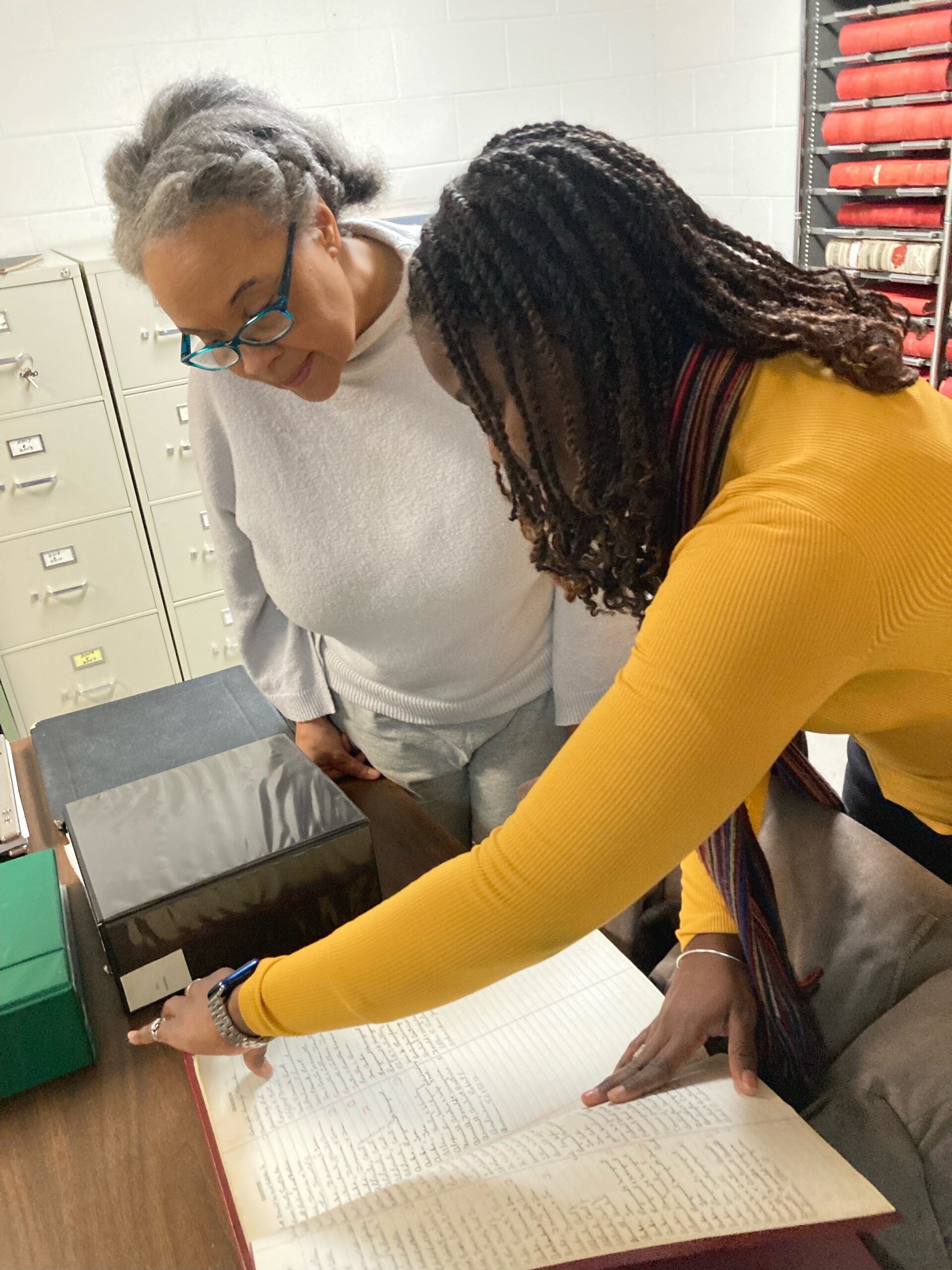
Hosted by the Clemmons Family Farm in Charlotte, Vermont, the UnderWATER, UnderGROUND artist residency program used visual art, music, dance, and storytelling to explore the rich cultural and natural history of the Lake Champlain Basin. Inspired by the discovery of a beluga whale fossil buried beneath what was once the Champlain Sea, the project connected geological history with the stories of the Underground Railroad, the Great Migration, and the experiences of African Americans who made Vermont their home. The project advanced the Lake Champlain Basin Program’s goals of fostering thriving communities and engaging the public in learning about the region’s diverse cultural heritage.
Through the framework of “Submerge, Immerse, and Emerge,” participating artists researched the history of the Champlain Basin, visited cultural and historical sites, and collaborated to create original works inspired by their discoveries. Their work spanned photography, video, textiles, collage, digital art, music, dance, and spoken word, weaving together stories of place, migration, resilience, and identity. The residency embraced the Ghanaian concept of Sankofa, encouraging participants to look to the past to better understand the present and shape the future.

Throughout the project, artists shared their creative process with the public through exhibitions, workshops, performances, artist talks, and educational programs at Clemmons Family Farm and Charlotte Central School. Community members of all ages participated in “Breach-Outreach” events that invited them to explore local history, contribute to creative activities, and engage with themes of environmental and cultural stewardship. Artist journals and works-in-progress served as tools for conversation, education, and community collaboration.
The project strengthened public appreciation for the interconnected history of the Lake Champlain Basin while elevating stories that have often been overlooked. By combining historical research with creative expression, UnderWATER, UnderGROUND created meaningful opportunities for learning, dialogue, and cultural connection, culminating in performances that reached broad audiences, including a music-and-dance performance at Clemmons Family Farm that was filmed by Good Morning America in early 2026.
Poultney-Mettowee Natural Resources Conservation District (NRCD) worked with researchers from Fitzgerald Environmental Associates to assess floodplain function in the Flower Brook watershed, with the goal of identifying restoration opportunities that will reduce flooding, improve water quality, and strengthen the resilience of communities in the South Lake Champlain watershed. By examining both erosion in the headwaters and chronic flooding and sediment deposition downstream, the project developed a watershed-wide understanding of how restoring natural floodplain processes can better protect people, infrastructure, and aquatic ecosystems.
Project partners completed extensive Stream Geomorphic Assessments, collected new watershed data, and field-tested Vermont’s Functioning Floodplain Initiative methods for prioritizing restoration projects. The work combined technical analysis with ongoing collaboration among municipalities, landowners, state agencies, and conservation partners to ensure that recommended projects were both scientifically sound and supported by the local community.
The assessment identified 68 potential restoration and flood mitigation projects, which were evaluated based on their ability to reduce flood hazards, improve ecological function, decrease phosphorus loading, and be implemented successfully. Thirteen high-priority projects were developed into detailed opportunity summaries, and three advanced to 30% conceptual designs, creating a strong pipeline of implementation-ready projects that will improve floodplain connectivity, store more floodwater and sediment upstream, and reduce downstream impacts on Pawlet Village and Lake Champlain.
Beyond identifying restoration opportunities, the project created valuable datasets and planning tools that will support future flood resilience efforts across Vermont. The information collected will be shared through the Vermont Department of Environmental Conservation’s project database and will help guide future restoration, strengthen partnerships with landowners and municipalities, and advance projects that improve water quality, reduce flood risks, and restore healthy watershed function throughout the Flower Brook watershed.
A monitoring study by Franklin County Natural Resources Conservation District (NRCD) aimed to assess how a river system in northwestern Vermont responded to a dam removal over the following four years.
Researchers monitored the Johnsons Mill Dam removal site in northwestern Vermont over four field seasons, documenting how the river evolved after the dam was removed and how sediment moved naturally through the system, given that a minimal amount had been removed prior to the dam removal.
The project team tracked changes in the stream channel, floodplain, vegetation, fish and wildlife habitat, and sediment movement as the river gradually re-established a more natural form. The resulting data provided important insight into how streams adjust over time and move toward a stable equilibrium following restoration.
The project also identified best practices for future monitoring efforts, including the importance of collecting consistent baseline data before restoration, focusing on key indicators such as sediment transport, monitoring beyond the immediate project footprint, and planning for long-term data collection. Lessons learned from this work have already shaped monitoring plans for other Vermont dam removal projects, helping improve restoration strategies throughout the region.
In addition to advancing restoration science, the project shared its findings with state and federal agencies, conservation organizations, and the public through presentations, outreach events, and educational materials. By improving understanding of river recovery following dam removal, this work will help guide future projects that enhance aquatic habitat, strengthen flood resilience, improve water quality, and support healthy fish and wildlife populations throughout the Lake Champlain Basin.
As weather patterns bring more intense storms and frequent freeze-thaw cycles to the Lake Champlain Basin, farmers face growing challenges in maintaining productive fields while protecting water quality. This project established a new agricultural research site at the William H. Miner Agricultural Research Institute to study how changing weather conditions affect nutrient and sediment runoff from cropland and to identify practices that can improve both farm resilience and environmental outcomes.
The project’s primary accomplishment was the installation of a fully instrumented field research facility consisting of 12 individually monitored drainage plots. Each plot was equipped with tile drainage and surface ditches that direct runoff to a central pump station, allowing researchers to measure water movement and quality year-round. This infrastructure provides a unique, controlled environment for evaluating how water leaves agricultural fields under different weather conditions.
With the research site now in place, future studies will examine the effectiveness of conservation practices such as cover crops, no-till corn production, and improved manure application methods. By comparing these practices under real-world conditions, researchers will be able to identify strategies that reduce phosphorus, nitrogen, sediment, and other pollutants before they reach Lake Champlain while helping farms adapt to increasingly variable weather.
The long-term value of this investment extends well beyond the initial construction. The research facility will support years of studies that inform agricultural best management practices, improve water quality, and strengthen the environmental and economic sustainability of the region’s dairy industry. The knowledge gained will help farmers, conservation organizations, and resource managers make science-based decisions that benefit both working lands and the health of the Lake Champlain watershed.
The Upper Saranac Foundation built on previous efforts to control the spread of aquatic invasive species (AIS) in the Upper Saranac watershed. The project utilized diver hand harvesting to reduce invasive plant infestations within the Fish Creek Public Campground, minimizing the risk of downstream spread. Extensive public outreach reinforced AIS prevention strategies for campground users and the broader public.