A Vibrant Region
Rich in history, beautiful by nature.
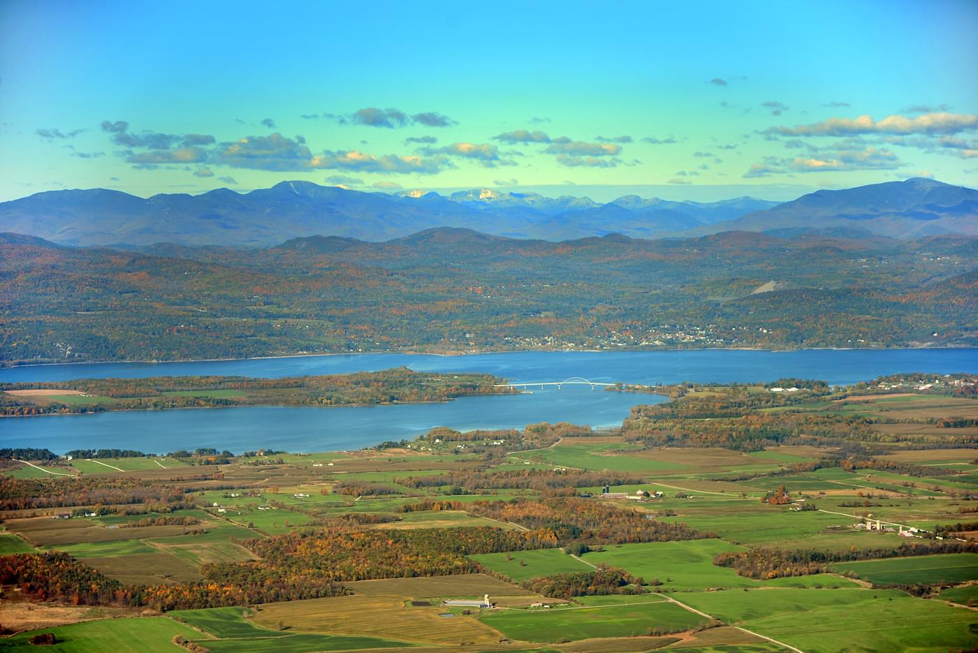
Ringed by mountains and fertile lowlands, the Champlain Valley is filled with water carried from the surrounding land by a large network of rivers and streams. Rain and melting snow cascade down the rugged peaks of the Adirondacks, meander through the fields of Québec, and roll through the hills and mountains of Vermont. These tributaries, and their associated lakes and ponds, drain a far-flung watershed known as the Lake Champlain Basin. At 8,234 square miles, this drainage area is remarkably large, measuring 19 times larger than the surface area of the Lake itself.
With waters in New York and Vermont in the United States, and the Province of Québec in Canada, Lake Champlain crosses political boundaries and unites a culturally diverse area. Beginning near Whitehall, New York, the Lake flows north over 100 miles to the Canadian border and the outlet of the Richelieu River. The Richelieu then flows north to the St. Lawrence River, and onward to the Atlantic Ocean.
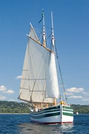
Lake Champlain’s natural resources and connectivity with other waterways have long made it an ideal location for human settlement and trade. Since the arrival of the first Native peoples, the history of the region has been inseparable from the Lake. Today, more than 600,000 people live in the Lake Champlain Basin and millions visit each year to enjoy its waters and other natural and historic features.
The Champlain Basin is covered with a patchwork of natural and human communities; a landscape in constant change. The watershed’s natural diversity includes significant freshwater wetlands, complex aquatic ecosystems, a world class fishery and abundant wildlife habitat. The waterways used by humans are also vital corridors and migration routes for animals including large mammals, fish and waterbirds. Many rare and endangered species of plants and animals also find habitat in the conservation areas and working lands of the Lake and Basin.
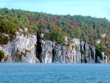
The Lake’s intricate shoreline, measuring over 587 miles, features rocky bluffs, sand and cobble beaches, deltas and a variety of wetlands. More than 70 islands dot the waters, and numerous inlets and bays add to the complexity of the Lake’s narrow profile. At its deepest, the Lake plunges down 400 feet, with an average depth of 64 feet. The southernmost regions of the South Lake are much like a river, which widens into the scenic expanse of the Main Lake. At Malletts Bay, the Lake reaches its greatest width, stretching 12 miles across. To the north, the Champlain Islands define an area known as the Northeast Arm, and in the far northeastern corner are the shallow waters of Missisquoi Bay. Each lake segment has unique characteristics and water quality issues.
Culture of Stewardship
A healthy Lake Champlain is integral to the region’s quality of life, providing drinking water, recreation, fish and wildlife, and scenery for residents and visitors to use and enjoy. These natural and cultural resources attract business, tourism, and a thriving cultural scene. For centuries, human activities on the land have also profoundly influenced the Lake. Pollution, overfishing, and dams have dramatically changed aquatic communities. The alteration of shorelines and rivers, the destruction of wetlands, and the arrival of nonnative species also have had an impact. Erosion and stormwater runoff bring sediments, fertilizers, and other pollutants into the water, with excess nutrients that can fuel the growth of unwanted plants and algae. Bacteria, toxins, airborne pollution, and climate change also threaten water quality and the Lake ecosystem.
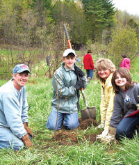
Partnerships are working throughout the Basin to protect and restore Lake Champlain and its watershed. Efforts are underway to control stormwater and agricultural runoff, stabilize river channels and protect wildlife habitats. Other priorities include ecological restoration, management of aquatic invasive species, and reduction of toxins. Citizen participation, community education, and sound management are all essential to the success of these initiatives. Lake Champlain and its watershed have shaped our history, our communities, and our lives. The stewardship of a healthy Lake will help to create a sustainable future for all of the Lake Champlain Basin.