International Joint Commission Lake Champlain – Richelieu River Flood Study
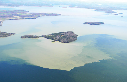
In April 2011, a combination of record spring precipitation and snowmelt from the third highest cumulative snowfall year on record caused subsequent overflow of the Richelieu River in Canada and Lake Champlain in the United States. Lake water elevation crested at 103.27 ft (31.5 m) above mean sea level, establishing a new lake elevation record for a system that has experienced flood events for at least the last one hundred years. The lake elevation exceeded flood stage on April 13, 2011 and remained there until June 19, 2011, a total of 67 days. Close to 4,000 homes were damaged in both countries causing tens of millions of dollars in damage.
In response to the floods of 2011 in the Lake Champlain – Richelieu River basin, the federal governments of the United States and Canada requested the assistance of the International Joint Commission (IJC) to review and make recommendations regarding a comprehensive study of measures to mitigate flooding. On July 15, 2013, the IJC sent a letter to the U.S. and Canadian governments transmitting the Plan of Study (PoS) proposed by the International Lake Champlain-Richelieu River Work Group and conveying the Commission’s recommendations on this matter. The IJC appointed a Technical Working Group (TWG) with members from both countries to address the highest priority needs identified in the PoS. In November of 2015, the TWG presented their final report to the IJC.
The International Lake Champlain Richelieu River Study Board was established by the IJC in 2016 to advance the work of the TWG and complete the work outlined in Option B of the 2013 PoS. The Study Board is comprised of 10 members, with equal representation from the US and Canada, and is supported by a number of advisory committees (also called TWGs): The Floodplain Management and Mitigation Measures (FMMM) TWG, the Hydraulics, Hydrology, and Mapping (HHM) TWG, the Public Advisory Group (PAG), Resource Response (RR) TWG, and the Social, Political, and Economic (SPE) TWG.
The PoS directs the Study Board to:
- Evaluate the causes and impacts of past floods, especially the event of 2011.
- Assess the possibilities offered by floodplain best management practices.
- Evaluate possible adaptation strategies to the expected future variability in the water supplies.
- Develop and make recommendation for implementing, as appropriate, an operational, real-time flood forecasting and flood inundation mapping system for the Lake Champlain – Richelieu River watershed.
- Conduct an in-depth study of current social and political perception on structural and other mitigation measures to support and confirm the desirability of potential structural mitigation solutions.
- Perform a quantitative and qualitative assessment of potential flood management and mitigation measures (non-structural and/or moderate structural works and their impacts on important resources of the system: the wetland and fauna, recreational, domestic, industrial and municipal uses of water, shoreline and floodplain built environment and agriculture.
- Developing resource response models that include basic indicators for water resource response to water levels fluctuations, with special attention on the data inventory and identification of thresholds. Climate projections, wind wave and ice models, additional new data for the evolution of watershed physiographic characteristics over time and a complete digital terrain model should also be produced to allow the planning, evaluation and ranking of potential flood mitigation solutions, using a shared-vision approach.
The Study Board released its first major report, The Causes and Impacts of Past Floods in the Lake Champlain-Richelieu River Basin – Historical Information on Flooding in March, 2020. The Board is expected to provide recommendations to the governments regarding flood management and mitigation options in the spring of 2022. More information about the Study is available at ijc.org/lcrr.
The Lake Champlain Basin Program supports the IJC flood study by providing administrative support and coordination of technical workshops, data acquisition, public outreach, and through an LCBP staff member who serves as the U.S. Study Manager. The LCBP also supports the work of the U.S. Outreach Coordination for the Study with IJC funding.
MORE ON FLOODING
For more information on the impacts of flooding, please visit:
Monitor Lake Champlain levels at these USGS gaging stations:
Burlington, VT | Whitehall, NY | Richelieu River at Rouses Point, NY
Get Lake Champlain Flood Information from the National Weather Service.