Lake and Basin Facts
Lake Length: 120 miles (193 kilometers). Lake Champlain flows from Whitehall, New York north almost across the U.S./Canadian border to its outlet at the Richelieu River in Quebec. From there, the water joins the St. Lawrence River, which eventually drains into the Atlantic Ocean at the Gulf of St. Lawrence.
Greatest Width: 12 miles (19 km).
Greatest Lake Depth: 400 ft. (122 meters). The waters of Lake Champlain reach their greatest depth in the area between Charlotte, Vermont and Essex, New York.
Average Lake Depth: 64 ft. (19.5 meters).
Average Annual Water Level: 96.5 ft (29.5 m)
Record High Water Level: 103.57 ft. recorded in 2011 near Whitehall, NY (Burlington, VT recorded 103.27 ft. in the same year).
Record Low Water Level: 92.4 ft. recorded in 1908.
Approximate Lake Surface: 455 sq. miles (1,179 sq. kilometers).
Approximate Volume of Water: 6.8 trillion gallons (25.8 cubic kilometers).
Water Retention Time: Varies by Lake segment. It is longest in the Main Lake (about three years) and shortest in the South Lake (less than two months).
Amount of Shoreline: 587 miles (945 kilometers) of shoreline.
Number of Beaches: There are about 54 public or commercial beaches and 10 private beaches on the Lake’s shores. Visit the Lake Champlain Basin Atlas Beaches page for more information.
Average Lake Freeze Date: The average Lake freeze date (across the Lake’s widest part) is February 12th. During the frigid winter of 2003, it froze on February 15th, and during 2004, the Lake froze on January 27th. In 2005, it froze on March 8th. However, the Lake is still freezing less frequently across its widest part than it has in the past. For example, it only froze during three winters between 1990-2000.
Lake Segments: The Lake is divided into five distinct areas, each with different physical and chemical characteristics and water quality. These lake segments include: the South Lake, the Main Lake (or Broad Lake), Malletts Bay, the Inland Sea (or Northeast Arm), and Missisquoi Bay.
Lake Stratification: Lake Champlain stratifies in the spring and summer. The warmer, less dense, upper layer (epilimnion) of the Lake typically extends down about 33 feet (10 meters) in the Main Lake during the summer. Below this layer, there is a sharp transition in temperature called the “metalimnion” or “thermocline,” to the much colder waters below, called the “hypolimnion”.
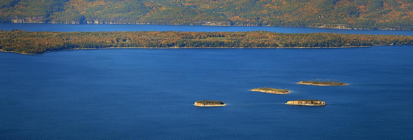
Number of Islands in Lake: More than 70.
Area of the Basin: 8,234 sq. miles (21,326 sq. kms). Ninety percent of the water that enters Lake Champlain flows through the Lake’s drainage basin before it reaches the Lake.
Land Distribution: Fifty-six percent of the Basin is in Vermont, 37% is in New York, and 7% is in the Province of Quebec.
Area of Wetlands in the Basin: More than 300,000 acres. Visit the Lake Champlain Basin Atlas Wetlands page for more information.
Average Annual Precipitation: More than 50 in. (127 cm) in the mountains and 30 in. (76 centimeters) near the Lake or in valleys.
Growing Season: 150 days near the Lake and 105 days in higher terrain.
Average Annual Air Temperature: 40-45 degrees Fahrenheit (4.4-7.2 Celsius).
Population of Basin: 571,000 (541,000 in the US according to the 2000 Census Data, and 30,000 in Quebec). About 68% live in Vermont, 27% in New York, and 5% in Quebec. Density is about 61 people per sq. mi. Visit the Lake Champlain Basin Atlas Population page for more information.
Drinking Water Use: Approximately 200,000 people, or about 35% of the Basin population, depend on Lake Champlain for drinking water. Approximately 4,149 draw water directly from Lake Champlain for individual use. There are 99 public water systems drawing water from Lake Champlain.
Tourism Expenditures: About 3.8 billion in 1998-99.