When was Lake Champlain the “Champlain Sea?”
Adapted from Ice Age Waters and Ancient Oceans and Mountain Building, Lake Champlain Basin Atlas
We often refer to the Lake Champlain watershed as the “Basin”, but how did our region become a basin in the first place? Let’s travel back to about 3 million years ago—relatively recent by geologic standards—when the last Ice Age began, and with it the advance and retreat of glaciers across the North American continent. During the final glacial advance, the Lake Champlain Basin was covered by a sheet of ice over a mile thick.
Around 15,000 years ago, the planet began to warm and the ice retreated north. For a time, retreating ice acted as a dam in the northern part of our region, and the land to the south, which had previously been covered by ice, began to fill in with meltwater and form what is referred to as Lake Vermont. During this time, present day Burlington, Vermont and Plattsburgh, New York were underwater.
Lake Vermont was relatively short-lived. Just 2,000 years later, the northerly glacier retreated enough that ocean water from the St. Laurence estuary flooded in, filling the Lake Champlain Basin. This formed the Champlain Sea, an arm of the Atlantic Ocean.
It may be difficult to imagine, accustomed as we are to our freshwater ecosystem, but the Champlain Sea was home to marine animals including beluga whales, Atlantic cod, seals, and blue mussels. In 1849, railroad workers unearthed a beluga whale skeleton in Charlotte, Vermont. Other fossils from the time have been found throughout the Basin, buried in sediment beneath current Lake Champlain.
Over time, the land that had been compressed by ice sheet began to rise, and the connection to the Atlantic Ocean was lost. Ocean waters and marine animals retreated, however some plants remained. Some of these species can still be found today.
One such plant, Champlain beachgrass, can only be found in two localized sites: one in Alburgh and one in Burlington, Vermont. Beach heather is also found in only a few locations throughout Vermont, in sandy soils. The beach pea is a legume suited for sandy bluffs, a niche not many other temperate plant species can thrive in.
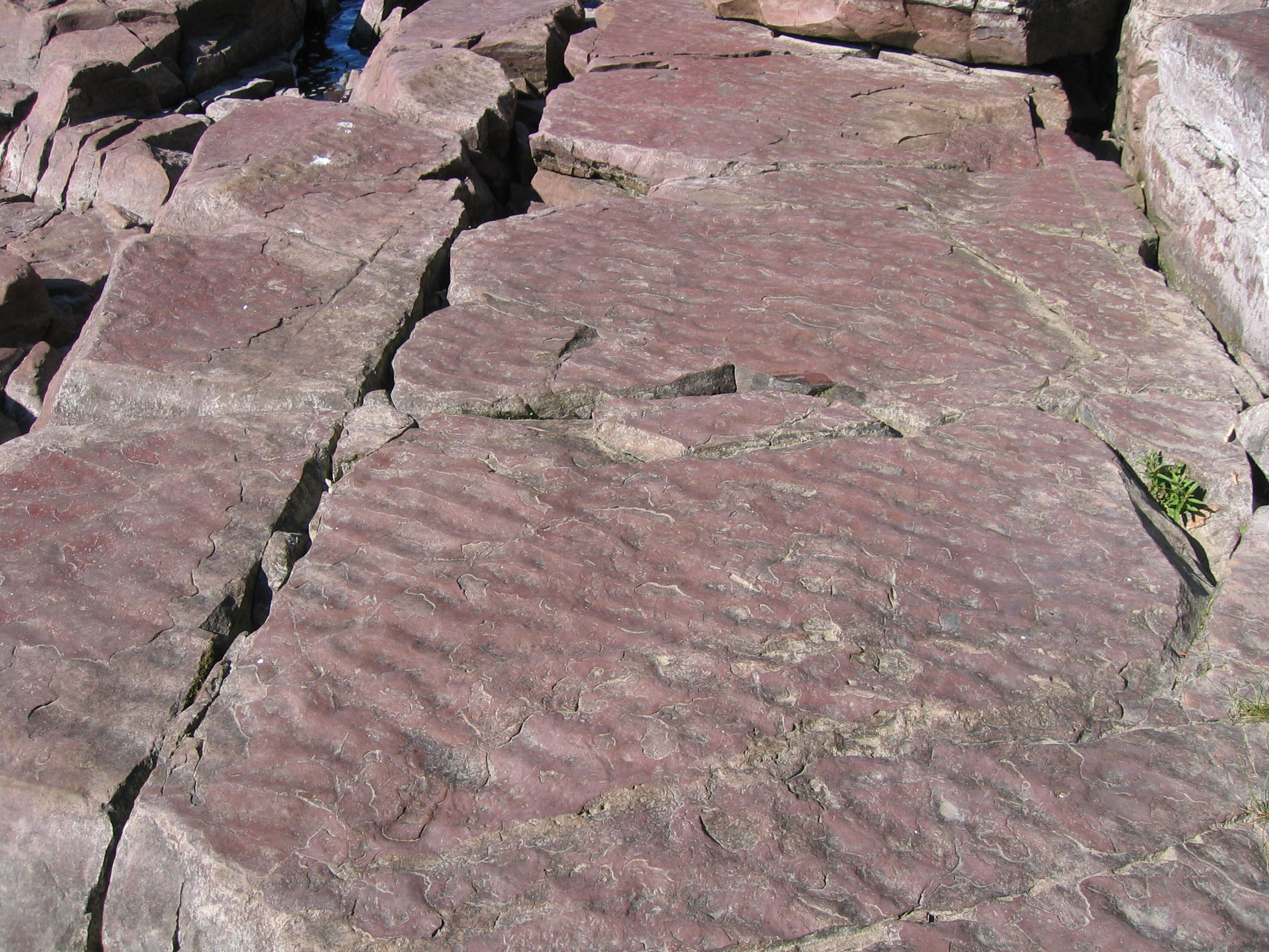
Let’s travel even further back in time. More than 500 million years ago, before the Atlantic Ocean existed, the present-day Lake Champlain Basin was covered by the shoreline and tropical waters of the Iapetus Ocean. We can find evidence for this ancient ocean in the sandstone and limestone still present in the Basin. Marine fossils, such as Isle La Motte’s Chazy Reef, clue us in to this oceanic history too.
Over 400 million years ago, shifting tectonic plates closed off the Iapetus Ocean. The sedimentary rocks of the shoreline and continental shelf were folded into what are now the Green Mountains, part of the Appalachian Mountain chain. Older sedimentary rock was transformed into metamorphic rock like schist, marble, and slate through the pressure and heat of mountain formation.
The Adirondack Mountains formed hundreds of millions of years after the Green Mountains. 150 million years ago, the unique dome formation of the Adirondacks began to emerge. As the dome rose over time, successively older rock layers were eroded away, exposing on today’s surface rocks that formed deep within the crust more than one billion years ago. One of the predominant rock types is anorthosite, an unusual rock on earth’s crust but which is found on the Moon. Recent surveys suggest that the Adirondacks may still be rising faster than the rate of erosion.
Sources: Stephen Wright, University of Vermont; Vermont Public; New York State Museum