Bi-national River Assessment
An assessment released in January is the first of its kind to use consistent methodology on both sides of the US-Canada border, charting a coordinated path to improved water quality. Partners identified 15 high priority projects along the Rock River in Quebec and Vermont that will reduce phosphorus contributions to Lake Champlain and enhance habitat and water quality.
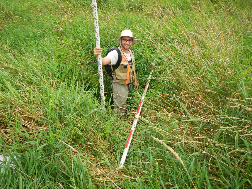
Nearly two decades ago the Vermont portion of the Rock River watershed was evaluated using a Stream Geomorphic Assessment, a comprehensive survey process developed by the Vermont Agency of Natural Resources. Assessments using similar methods have taken place in portions of the watershed in Quebec. Until the most recent assessment, the entire Rock River watershed had not yet been evaluated within a framework that could provide meaningful management insights to both Vermont and Quebec jurisdictions. Now complete, the project represents a unique opportunity to harmonize restoration efforts on both sides of the border and charts a pathway to a healthier northern Lake Champlain, including the Missisquoi Bay.
This project was carried out by Fitzgerald Environmental Associates in collaboration with the Lake Champlain Basin Program, Vermont Agency of Natural Resources, Friends of Northern Lake Champlain, Missisquoi Bay Watershed Organization (OBVBM), and other partners.