Teaching with a Giant Map
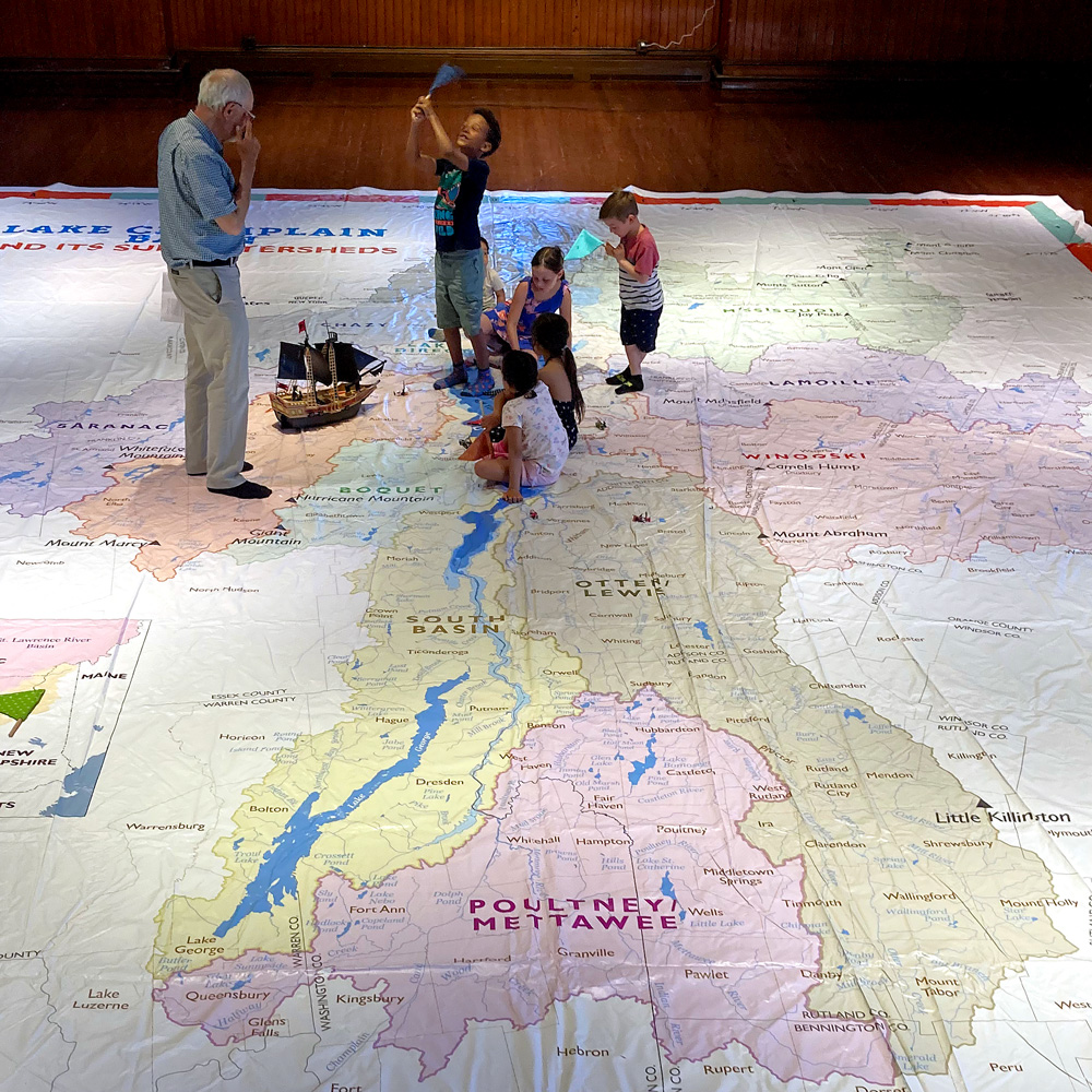
The Lake Champlain Maritime Museum (LCMM) and faculty from Castleton State University are developing lake-focused lesson plans and working with teachers to develop and provide curriculum instruction using a large-format map that measures 27′ x 35′. Museum educators are designing initial lessons using data and stories in the 2018 State of the Lake and Ecosystem Indicators Report. Tangible, physically-active, place-based activities will connect geography and science with watershed stewardship. The goal is for students to make a connection to the watershed and view stewardship as their responsibility. LCMM is working with teachers through remote learning and will bring the map into schools and summer programs.
Watch the LCMM’s video about the Giant Map to learn more.