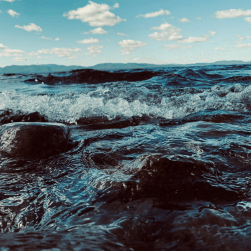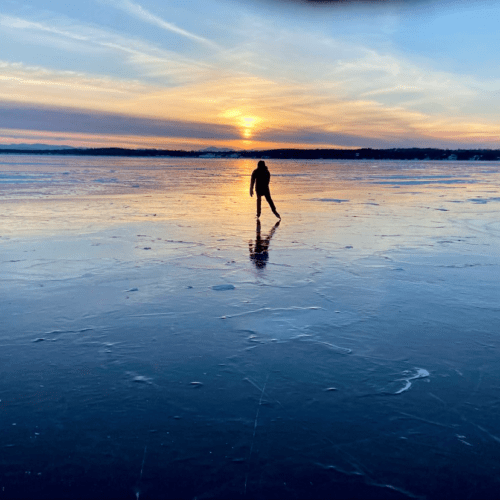
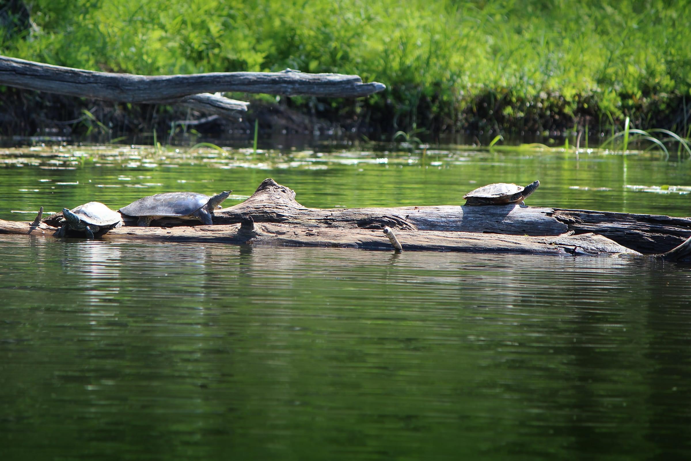

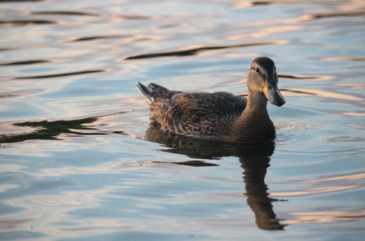
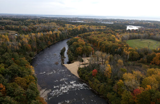
Stream restoration projects reconnect vital habitat in the Lake Champlain Basin
Two years after the historic passage of the Bipartisan Infrastructure Law (BIL), projects funded by the law are already reconnecting…
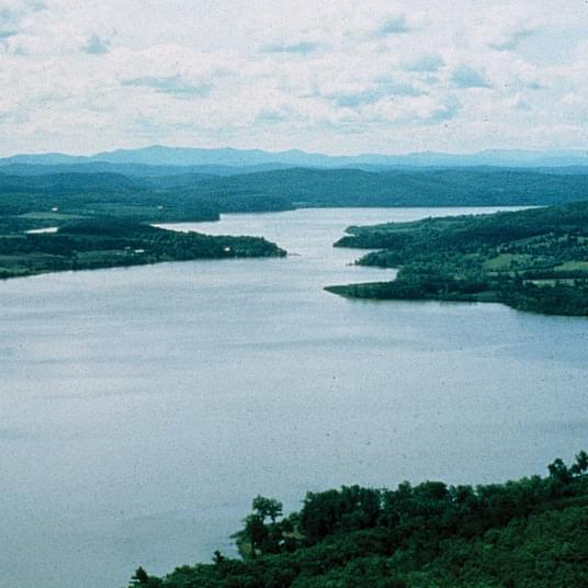
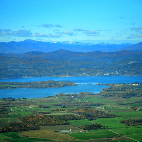
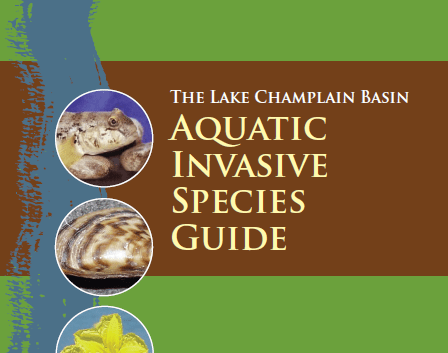
The Lake Champlain Basin Program (LCBP) coordinates and funds efforts that benefit the Lake Champlain Basin’s water quality, fisheries, wetlands, wildlife, recreation, and cultural resources, in partnership with government agencies from New York, Vermont, and Québec, private organizations, local communities, and individuals.
Two years after the historic passage of the Bipartisan Infrastructure Law (BIL), projects funded by the law are already reconnecting…
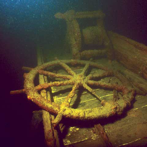
Grand Isle, VT – The Patrick Leahy Lake Champlain Basin Program will host Chris Sabick, Executive Director of the Lake…
Grand Isle, Vt – The Lake Champlain Basin Program, Champlain Centre, and the Champlain Basin Education Initiative invite the public to…
No events found.
When:
Where: LCBP Office, Grand Isle, VT, 05458
When:
Where: LCBP Office, Grand Isle, VT, 05458
When:
Where: QC Host TBD
The LCBP has launched a new science blog to make it easier for partners and stakeholders to learn about LCBP…
BIL-funded Grants Support Habitat ∙ Stream Restoration Underway ∙ 2023 Boat Launch Steward Data ∙ VTCAC Releases Lake Champlain Action…
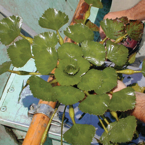
Saranac River Dams Removed ∙ Round Goby Advances in Québec ∙ Stream Wise Reaches New Landowners ∙ WEC Alum Named…
Historic Flooding Brings Nutrient Surge to Lake • Artists and Clean Water Unite • Multi-Lingual Outreach Aims for Fun and…
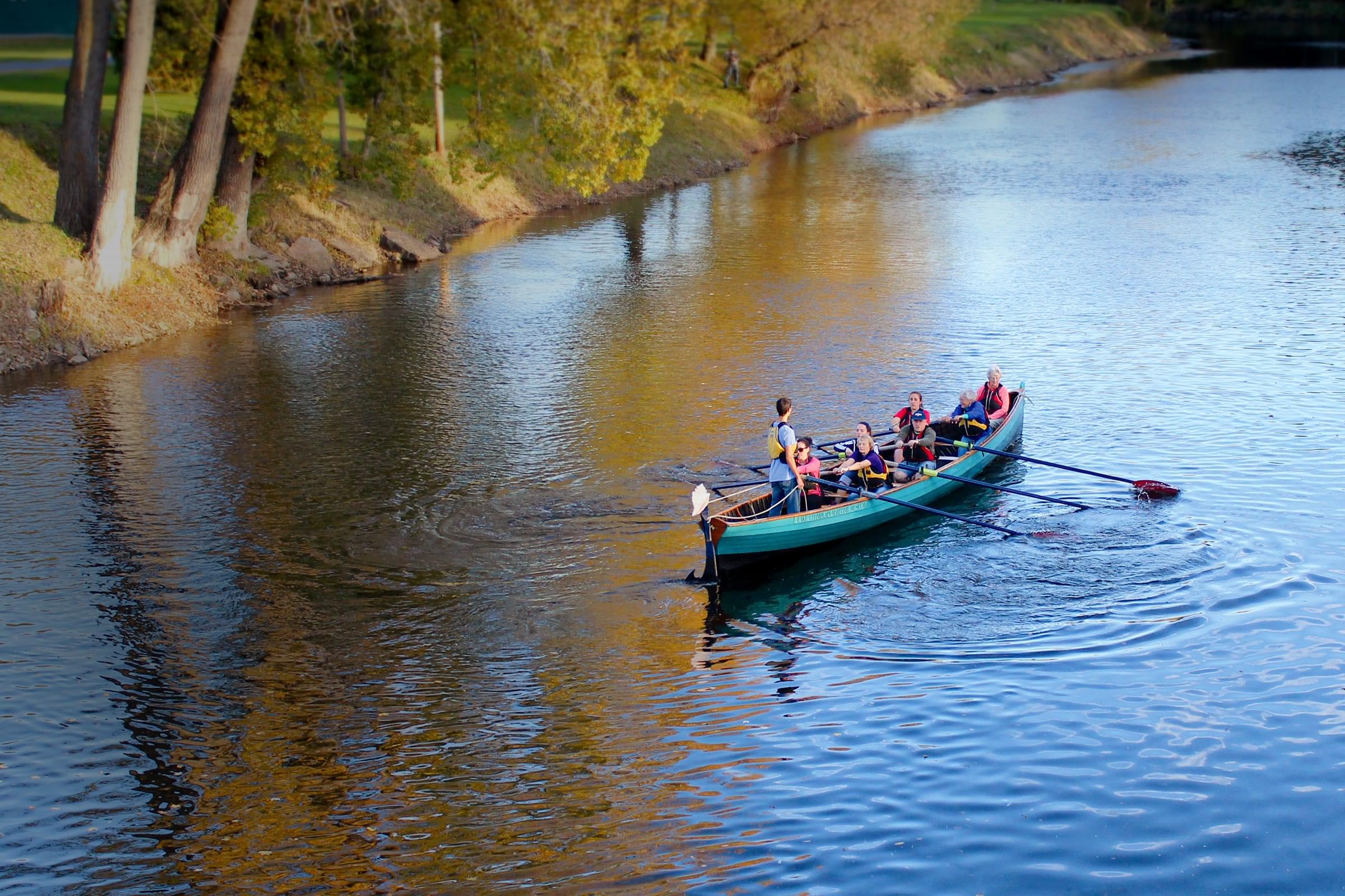
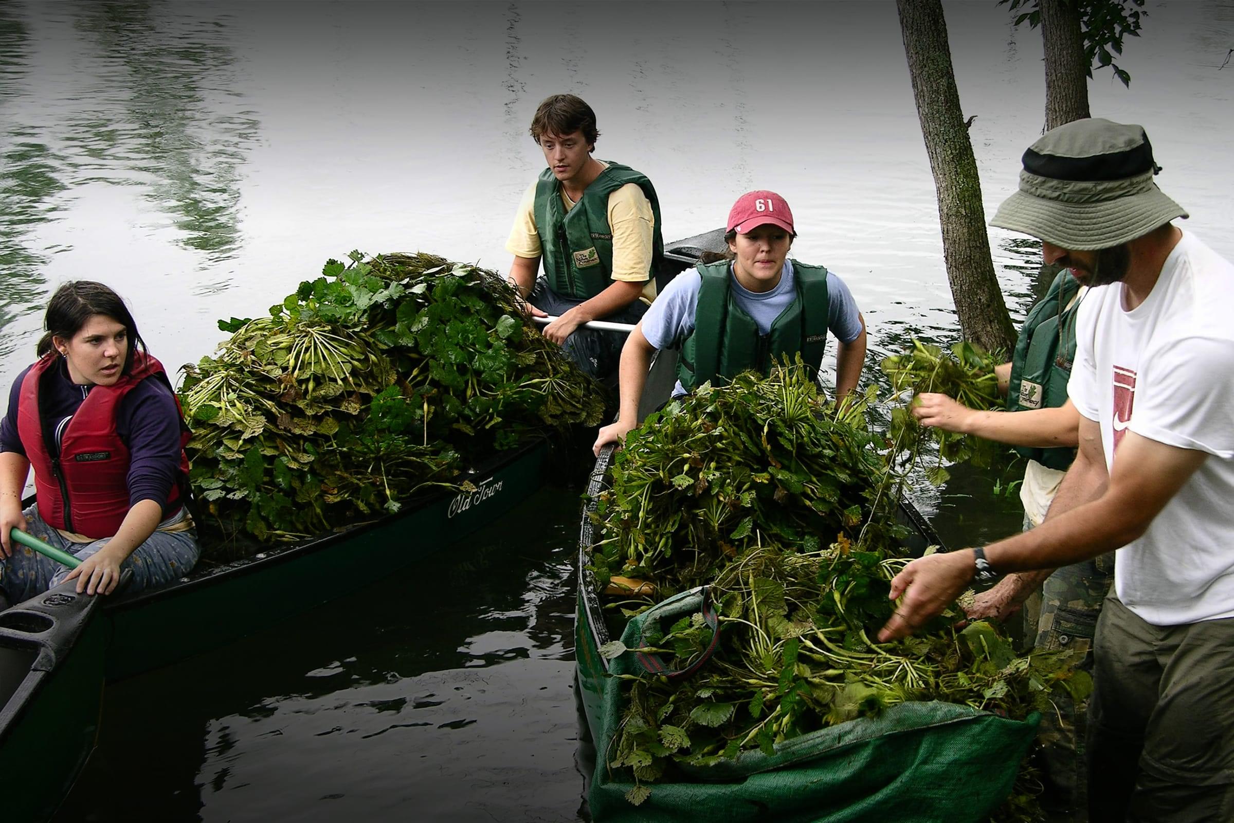
Many people are working to protect and restore Lake Champlain’s water and ecosystems. The LCBP-supported projects featured here are just a sampling of the important work done by partners throughout the Basin.